
The Route
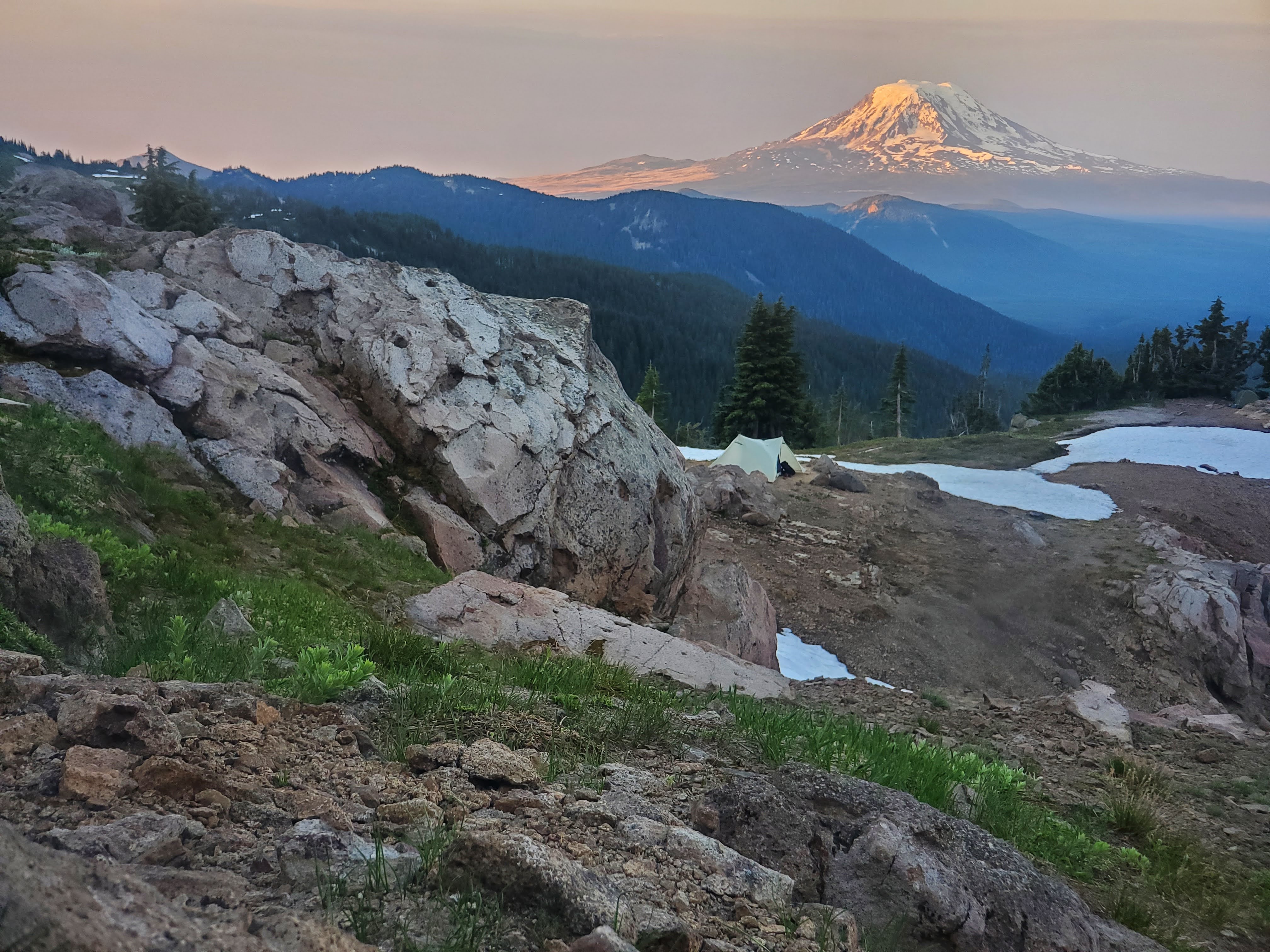
The Pacific Crest Trail is a 2,650-mile National Scenic Trail running from Mexico to Canada through California, Oregon, and Washington. The route was established through the National Trails System Act of 1968 to protect and connect a continuous footpath through the western mountains, and it was completed in 1993. Desert basins, chaparral, volcanic peaks, granite passes, alpine meadows, forests, and snowfields create five broad stages: southern, central, and northern California, Oregon, and Washington. A northbound thru-hike generally takes four to six months, beginning in spring and reaching Canada in late summer or early fall; weather, wildfire, and snowpack shape the timing. A day alternates between water carries, climbs, long ridgelines, and decisions about the next resupply. Most food is carried in a food bag and replenished through towns, stores, mailed boxes, and trail angels. Meals favor lightweight, durable calories, while town stops bring diners, grocery food, and regional meals. In remote sections, planning matters more than variety.
Resources
Food Guide
Western United StatesFood along the Pacific Crest Trail moves between what fits in a food bag, what can be found on a town day, and what appe…
Food Map
Western United States · interactiveA food map of approved Pacific Crest Trail spots across five stages, with provenance and current review status preserved for each location.
GPX available
Food waypoints
Download route-specific GPX food waypoints drawn from the pinecrumbs food atlas. Use them alongside the navigation tools you already carry.
Download Pacific Crest Trail food waypointsThese waypoints come from published, verified, current records in the pinecrumbs food atlas. Businesses and conditions can change. Check the individual listing before travel.
How to use this file
- Download the route-specific GPX file.
- Import it through your mapping application.
- Confirm that the waypoints appear before starting the walk.
GPX is a common waypoint format. Import this file into Gaia GPS or another app that supports GPX waypoint import. App capabilities vary by version and platform.
More from pinecrumbs
Newsletter
New food stories, guides, and maps are published at Substack. Subscribe to be notified when new content for Pacific Crest Trail goes live.
Subscribe at Substack →